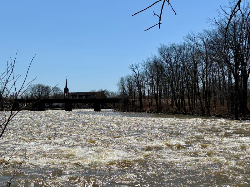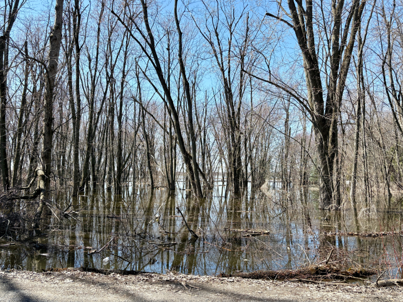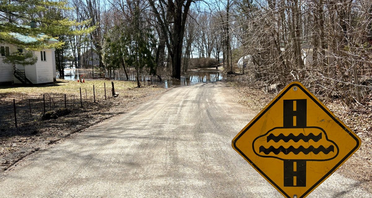
Flooding conditions in Saint-André-d’Argenteuil continued to evolve on Friday, April 17, following the municipality’s declaration of a state of emergency, with rising water levels forcing route closures and affecting nearby residences.
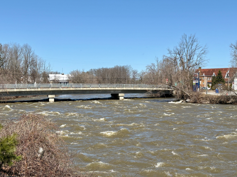
Mayor Stephen Matthews said several bridges have been shut down as a precaution, in accordance with provincial guidelines that require closures when water is within one foot of a structure. One bridge in La Terrasse Robillard was closed at 9 a.m.
Water has reached at least five homes, while several roads have been affected, including in Baie de Carillon, Rue Fournier, and in the Île-aux-Chats sector. With the bridge closure in La Terrasse Robillard, at least 29 residences are now cut off.
“We’ve had to close a few bridges because as soon as the water is within one foot, they have to be shut down,” Matthews said. “Water has touched a few residences, so we prefer to be a bit more cautious.”
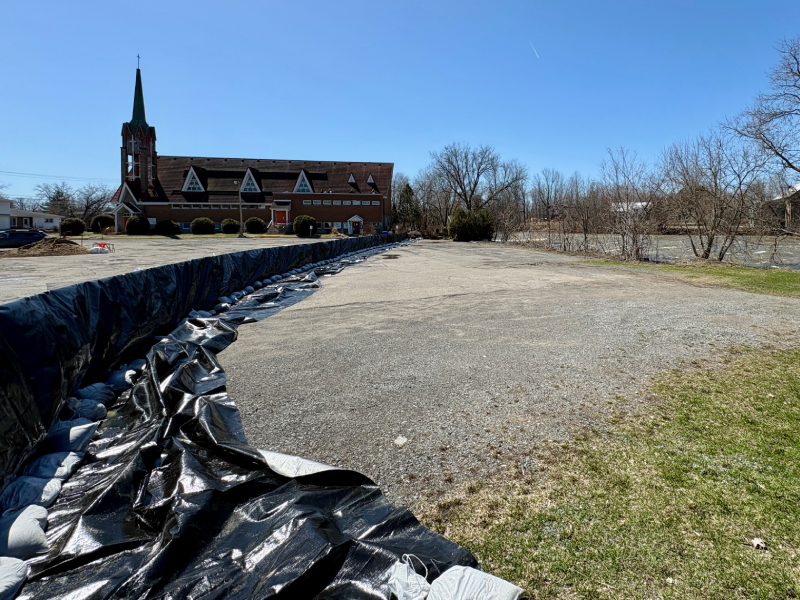
The municipality has established six sandbagging locations and is working with emergency partners to conduct door-to-door checks, both to ensure residents’ safety and to determine how many evacuations may already be underway.
While current water levels are in line with earlier projections, Matthews said officials are watching conditions closely as warmer temperatures and rainfall are expected to accelerate runoff into Rivière du Nord.
“Right now, it’s about what we expected, but the weekend could make things worse,” Matthews said, noting flows could reach approximately 485 cubic metres per second.
Water levels will also depend on operations at the Carillon dam and how much water is released, as well as how much backs up into surrounding waterways.
“The state of emergency,” Matthews said, “allows the municipality to authorize urgent spending without prior council approval and opens the door to partial reimbursement from the provincial government.”
Residents are being urged to remain vigilant as conditions develop.
“Prepare for the worst, and hope for the best,” Matthews said.
According to the Québec government’s flood monitoring website, as of Monday afternoon, Rivière du Nord was flowing at 291.50 cubic metres per second/10,294.23 cubic feet per second, approximately 8 kilometres from the mouth of Saint-André-d’Argenteuil, beside Chemin de l’Île-aux-Chats. The water level was 48.86 metres/160.30 feet.
Hydro-Québec reported Monday afternoon that total flows at Carillon reached 7,641.53 cubic metres per second, or approximately 269,858 cubic feet per second.
Photos by Philip Oddi: