Just in time for summer travel and touring, a new digital initiative makes it possible to explore the history of the Ottawa River in Argenteuil.
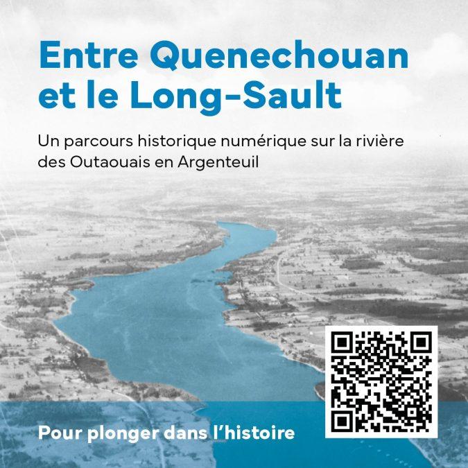
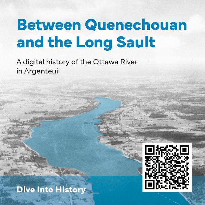
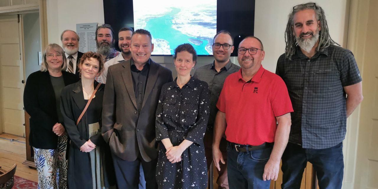
On June 13, the Municipalité régionale de comté d’Argenteuil and the Musée régionale d’Argenteuil launched Entre Quenechouan et le Long-Sault/Between Quenechouan and the Long-Sault, which highlights more than 400 years of human activity around the Long-Sault corridor, the segment of the Ottawa River passing by Argenteuil.
The project offers a digital journey of the Long-Sault corridor from yesterday to today, using texts, maps, and photos.
The Long-Sault Rapids, have long characterized the Ottawa River near the MRC d’Argenteuil. The rapids ran a distance of 21 kilometres, between Carillon and Grenville, with a drop of more than 18 meters. Named Quenechouan (“great rapids”) by the Oueskarinis, an Algonquin people then occupying the territory north of the Ottawa River, the rapids were renamed Long-Sault by French explorers during the 17th Century. With the commissioning of the Carillon power station in 1962 and the flooding of more than 825 hectares of land, the Long Sault Rapids were swallowed up by tons of water. Nearly eight kilometres of roads were displaced and many properties were expropriated. The canals constructed nearly a century before were almost completely submerged. Only the entrance to the old Carillon Canal and part of the Grenville Canal still remains today.
The Government of Québec designated the Ottawa River (Kichi Sipi “the great river” in Algonquin) a historic site in 2017, following Ontario’s designation one year earlier. The Ottawa River is the longest with land frontage in Québec, extending more than 1,271 km. The MRC d’Argenteuil has 84 kilometres of shoreline on the river.
From the presence of the First Nations to the voyages of Samuel de Champlain, from Dollard-des-Ormeaux at the Battle of the Long Sault to the fur trade, the military canal system between Carillon and Grenville to the transport of timber by flotation, from commercial navigation by steamboats to the construction of the Carillon hydroelectric power station, the digital historical tour offers a long jump in time to discover the history of this significant place in the development and the population of the region.
Accessible online, in French and in English, the 18 stories of the tour are organized into three main blocks. One explores the early Indigenous settlement and European exploration of the river. The second examines surveying, industry, and transportation, and the third explores the development of communities and leisure along the river.
To access the digital historical trail: www.argenteuil.qc.ca/parcourslongsault , or scan the QR Code provided on the promotional material for the tour.
Entre Quenechouan et le Long-Sault/Between Quenechouan and the Long-Sault is made possible thanks to the financial support of the Gouvernement du Québec and the MRC d’Argenteuil.
Take the tour here!
Suivre le tour ici!