
Usage of the VéloRoute d’Argenteuil has broken its own record.
During the 2021 season, more than 108,000 estimated cyclists, pedestrians, and in-line skaters used the route, giving it its best season since being inaugurated in 2005. Use in 2021 increased by eight per cent from 2020. In 2020, usage increased by 19 per cent from 2019. The largest increases in 2021 were mostly observed in the first months of the year, due to an early arrival of spring.
Each year, the MRC d’Argenteuil, which maintains the VéloRoute d’Argenteuil, carries out various improvement projects along the route. In 2021, major paving work took place, parking lots were redeveloped, several signage and information panels were installed or refurbished, and layout changes were made at Boisé Von Allmen in Saint-Andre d’Argenteuil.
In 2022, the MRC d’Argenteuil is planning further trail improvements at Boisé Von Allmen as well as on the section of the Route Verte which crosses the region.
Use of the VéloRoute d’Argenteuil is free and is popular with area residents, and visitors from other regions of Québec and Eastern Ontario.
The VéloRoute d’Argenteuil was developed in the early 2000s as part of the Route Verte network of cycling routes, connecting all regions of Québec. The project was assisted by Vélo-Québec and the Québec government.
The VéloRoute d’Argenteuil has a total length of 54 kilometres, which mostly follows public roads. A nine kilometre section does not follow roads and travels through wooded areas.
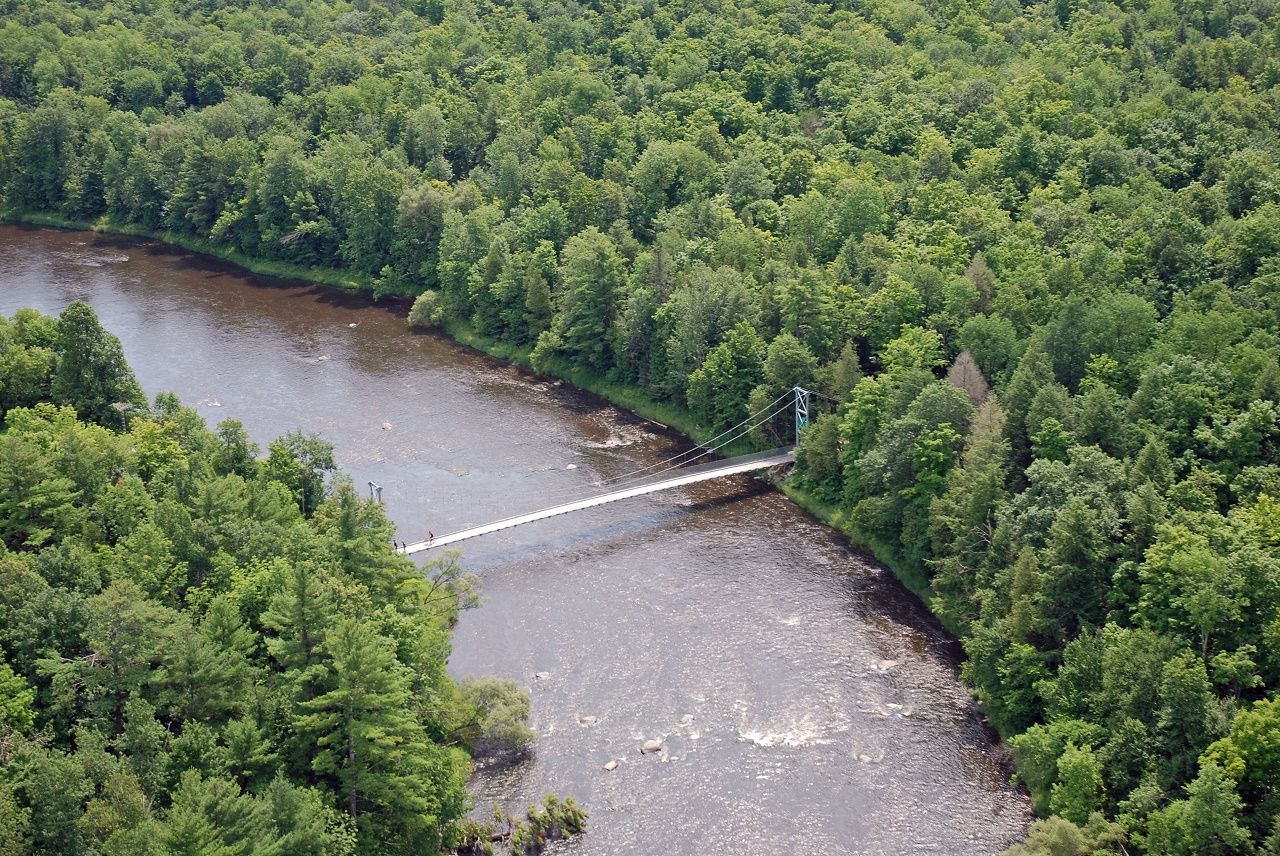
The route crosses, from east to west, the municipalities of Saint-André-d’Argenteuil, Brownsburg-Chatham, Grenville and Grenville-sur-la-Rouge. This VéloRoute d’Argenteuil includes the 63-metre Passerelle Desjardins across Rivière-du nord, and a lookout tower beside the Ottawa River.
Since 2005, it is estimated the nine kilometre has recorded nearly one million visits.