

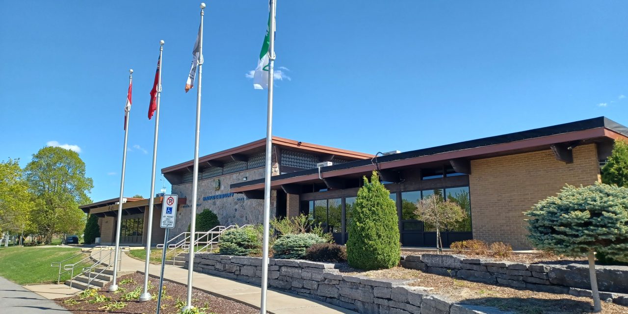
Hawkesbury council has given its approval of the document that will guide land use planning in the town for the next 20 years until 2046.
The resolution approving the new Official Plan was adopted on May 11. Before council gave its consent, Lisa Dalla Rosa, an Associate with FOTENN Planning and Design presented updates to the plan which had resulted from feedback given by the public and council during a public meeting on April 13.
Policies have been added to the new Official Plan to include drinking water source protection, engagement with Indigenous communities, railway operations, and floodplain mapping.
Dalla Rosa said that once the new Official Plan is in effect, zoning bylaws are required to be updated within three years.
At the April 13 meeting, frustration was expressed by councillors and citizens that the current floodplain area along the Ottawa River prohibits development in most of the waterfront area. Council is hoping changes can be made. However, Chief Administrative Officer Sam Cardarelli said discussions of a secondary plan for floodplain use are not looking favourable, but staff are making every effort to see what possibilities exist.
Dalla Rosa explained that the floodplain designation is in the United Counties of Prescott and Russell (UCPR) Official Plan, and the town is required to conform to it.
Councillor Jeanne Charlebois expressed frustration that the waterfront cannot be developed due to the floodplain designation.
Dalla Rosa said there is a policy in the new town Official Plan stating that if approval was obtained from the UCPR, the floodplain line could be moved based on additional studies.
Charlebois said she sees other waterfront development happening on the Québec side of the river and wonders why it seems to happen more easily there. She also asked what the land use designation is for Hamilton Island.
Dalla Rosa said the island is designated as Parks and Open Space.
Cardarelli said that through discussions with the UCPR and SNC, they learned that the elevation is different on the Québec side of the river, and there are also scientific calculations on the Ontario side of the river that have led for the Hawkesbury waterfront to be included as floodplain.
Charlebois asked for confirmation that a series of expensive studies would be necessary if a developer was interested in a project on Hamilton Island. Dalla Rosa confirmed many studies would be necessary.
Now that Hawkesbury council has adopted a resolution in support of the new Official Plan, it has been forwarded to the UCPR for approval. After being approved by the UCPR, it is then sent to the Ministry of Municipal Affairs for final approval.