UPDATED AT 11:20 p.m. on Monday, May 1, 2023
Heavy rain across the region since Saturday has again raised the risk of flooding along the Ottawa River and its tributaries.
The Ottawa River Regulating Committee is a federal-provincial organization that regulates water levels in the Ottawa River watershed. On the evening of Monday, May 1, it warned that levels and flows along the main stem of the Ottawa River were increasing in response to significant rainfall received over the last few days. Major flood levels are expected to be exceeded in flood prone areas over the next few days.
Water levels are currently expected to remain 45 centimetres to one metre below historical flood levels of 2019 on the main stem of the Ottawa River. Weather systems from the American Midwest and the Gulf of Mexico have brought a significant amount of precipitation over much of the basin over the last few days. These events have caused most of the remaining snow in the northern portion of the basin to melt. Additional precipitation is forecasted until Wednesday. Precipitation amounts already received and forecast to occur total up to 70 milimetres in some parts of the basin. Runoff from this precipitation and snowmelt is bringing additional water volumes to the Ottawa River, at a time when levels have already exceeded or are near major flood thresholds in several locations. The major flood threshold is defined as the level at which one or several streets are beginning to flood, with several houses/buildings or neighbourhoods being affected. Based on the latest weather forecast and the best information available at this time, levels are expected to exceed peak levels observed last week (April 21-23) by 50 to 60 centimetres in Gatineau and Thurso. These levels are approximately 70 centimetres lower than those observed in early May 2017.
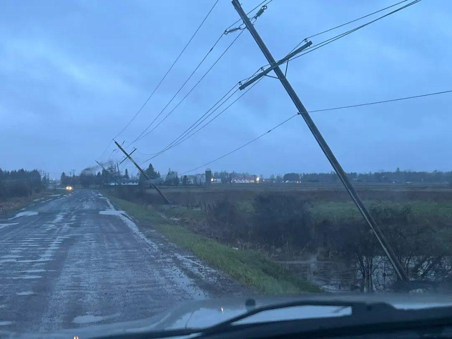
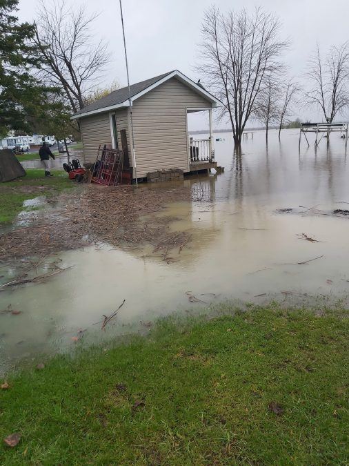
On Monday, residents of riverfront areas in Clarence-Rockland and Alfred and Plantagenet all reported significant flooding on their properties. The high winds during the rain on Sunday night caused several hydro poles on Peat Moss Road in Alfred and Plantagenet to fall over, which disrupted power to thousands of homes and businesses for several hours. The ferry service between Lefaivre and Montebello is also suspended due to high water levels.
The flood situation on the Ottawa River in low-lying areas of Saint-Andre-d’Argenteuil has been complicated by a third flood on Rivière du Nord expected during the next few days. The Government of Quebec flood monitoring station on the river in Saint-Jérôme was expected to approach 294 cubic metres per second on Tuesday and could begin a slight gradual decline beginning Wednesday. In Saint-André-Argenteuil, the increase should be felt towards the end of the week. The municipality is asking residents near the rivers to stay alert and vigilant.
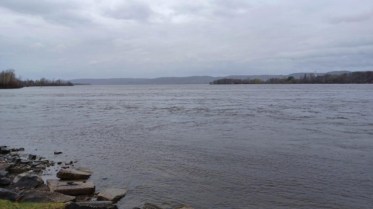
The Ottawa River remains under close surveillance. Since Sunday, April 30, an increase in speed had been observed. A flow of 6,700 cubic metres per second was recorded at the Carillon hydroelectric dam and the flow was expected to reach 7,000 cubic metres per second in the following hours. The ferry between Carillon and Pointe-Fortune remains closed due to dangerous conditions on the river.
A complete torrent of water was raging through the dam on Monday
The Municipality of Saint-André-d’Argenteuil invites citizens to take the necessary measures to ensure their own safety and protect their residence. To this end, it is important to think about:
• Prepare a family emergency plan and a 72-hour kit
• If you must evacuate your residence, provide a place to stay temporarily with your family members.
If you leave your home, make sure to turn off the power supply to your building and notify the municipality of your departure at 450 537-3527 ext. 0.
A drinking water station for St-André-d’Argenteuil residents affected by flooding has been set up in the courtyard of the municipal office building at 10, rue de la Mairie. The municipality requests that the water be used responsibly and for people to bring their own containers.
According to the Québec government’s flood forecast map, flooding along the Ottawa River around Pointe-Fortune and Rigaud on Monday, May 1 was normal but increasing. To view the map, go to https://vigilance.geo.msp.gouv.qc.ca/carte .
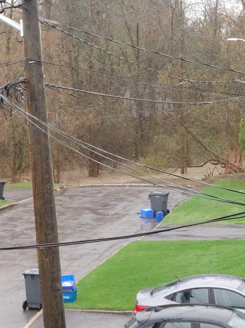
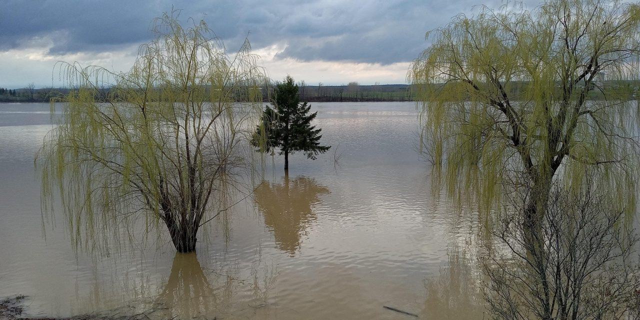
Flood and weather photos from around the region