UPDATED AT 3:30 p.m. on Monday, April 24, 2023
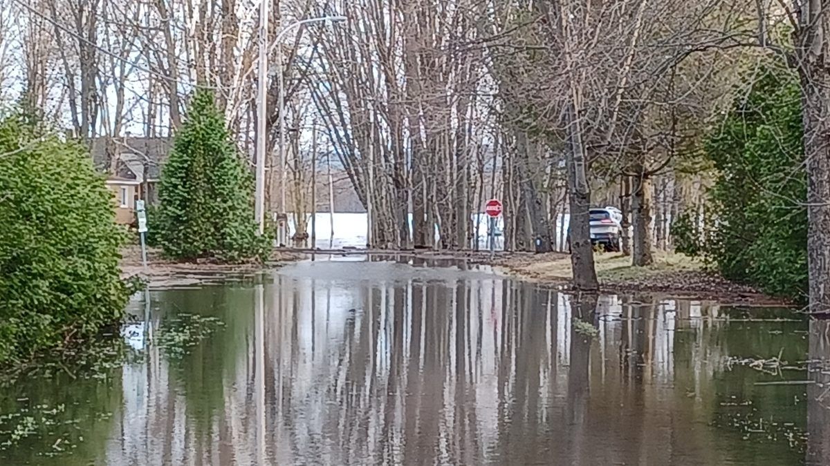
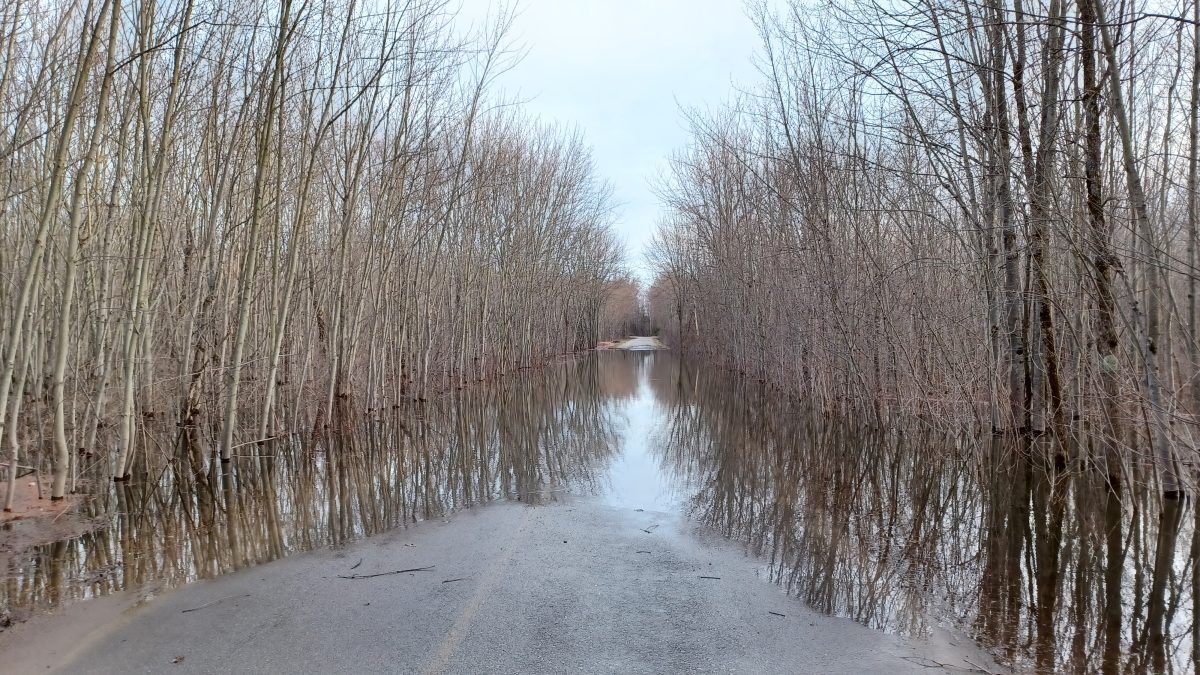
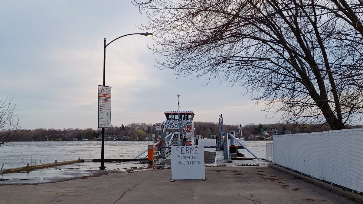
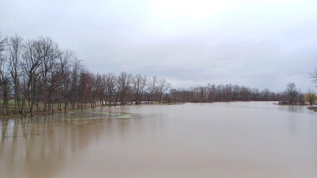
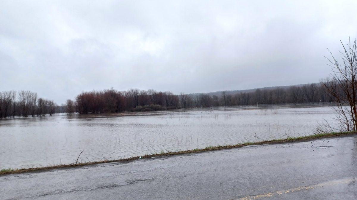
The Ottawa River has risen during the past week, causing varying amounts of flooding in communities along both banks.
According to the Ottawa River Regulation Planning Board, as of Monday, April 24, water levels and flows on the main stem of the Ottawa River were stabilizing in all locations from Mattawa to the Montréal area. The volume of meltwater from the central part of the basin was decreasing. Additional water was entering the river due to recent rainfall on the western and northern portions of the basin. This will slow the rate of level decrease in downstream areas but is not expected to cause any level increases. Water levels are expected to be stable or to decrease slightly in all locations over the next few days in all locations.
Flooding was expected to reach major, or near-major levels in some areas, but was not expected to reach the severity experienced in spring, 2019.
Municipalities in high-risk areas on both sides of the river took measures to prepare for flooding and to help protect public safety, infrastructure, and private property.
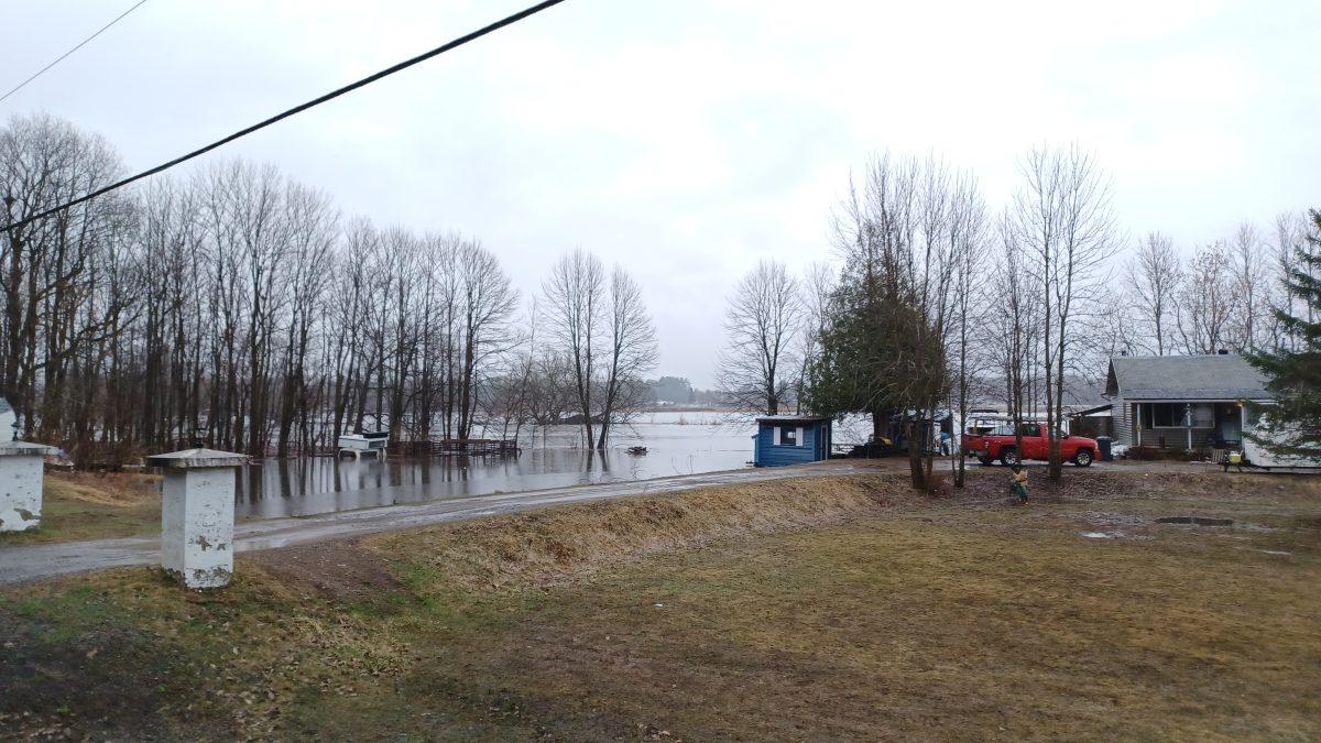
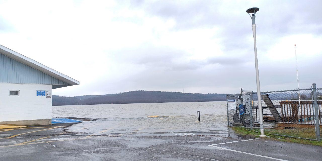
In Champlain Township, flooding was increasing along the banks of the Ottawa River as of the afternoon of April 18. Water had surrounded the L’Orignal Marina building on two sides and there was considerable flooding at the head of Baie des Atocas near the boundary between Champlain and Alfred and Plantagenet. On April 19, the township dropped bags and sand at various locations along the river in the township. Residents impacted by the flooding were permitted to filling, carry, and place any sandbags they needed to protect their property.
At the end of the flood season, the township will pick up and dispose of any sandbags that homeowners bring to the side of the municipal road allowance adjacent to their property.
The Township of Alfred and Plantagenet also made sand and bags available at the municipal garage in Lefaivre for residents affected by flooding along the Ottawa River. The City of Clarence-Rockland also made sandbagging materials available on Voisine, Pago and Wilson roads.
In Saint-André-d’Argenteuil, the municipality declared an official State of Emergency last week to prepare for flooding near the confluence of Rivière du Nord and the Ottawa River. By Thursday, April 20, roads in low-lying neighbourhoods near both rivers had been closed to all but local traffic and some roads were impassable. Sandbagging equipment had also been provided for residents of those areas. On April 24, sandbag filling was relocated to the municipal garage on rue Wales.
As of April 19, the flow had increased on Rivière-du-Nord due to rain over the weekend, and there was a slight increase in flow on the Ottawa River. The Ottawa River flow was expected to reach 6,700 cubic metres per second on April 23 and possibly 6,000 cubic feet per second on April 24.
Due to rain expected throughout this week, the municipality has prepared for a possible temporary raising of the road level for rue des Seigneuries and La Route du Long-Sault (Route 344).
St-André-d’Argenteuil citizens can communicate with the municipality at any time at 450 537-3527 or at [email protected] or dial 9-1-1 in an emergency. For receive the latest updates, the public is invited to regularly consult stada.ca and the municipality’s Facebook page and subscribe to the automated call service (SAM).
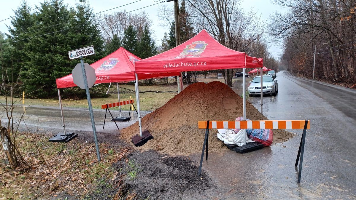
According to the Government of Québec’s online flood risk map, flooding on the Ottawa River downstream of the Carillon hydroelectric Dam in the area between Pointe-Fortune and Hudson was at levels considered to be minor to medium, as of Monday, April 24. The flooding situation on Rivière du Nord in the Lachute area was considered minor. On Monday, April 17, the city of Lachute had made sand and bags available to residents of chemin Laurin along Rivière du Nord between chemin Dunany and Route 329 where several properties had already flooded. The Parc Barron area in the centre of Lachute was also flooded.
To view the Government of Québec’s online flood risk map, go to https://vigilance.geo.msp.gouv.qc.ca/ .
Regular updates from the Ottawa River Regulation Planning Board are available at https://ottawariver.ca/, and at https://www.nation.on.ca/.
Flood photos by James Morgan