
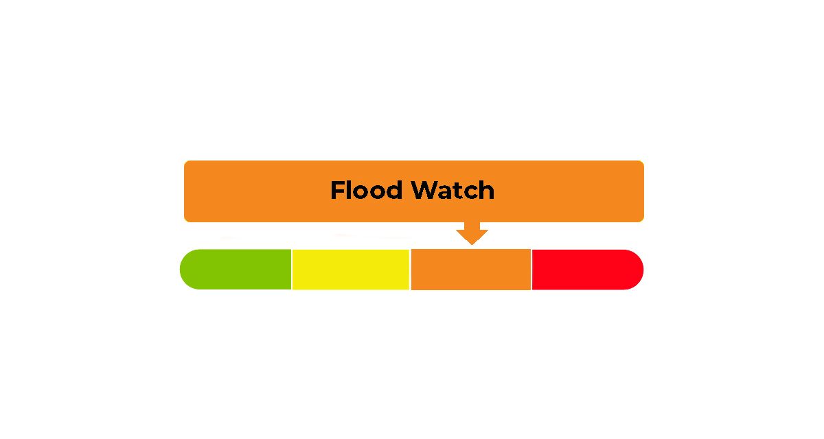
A flood watch has been issued across the South Nation Conservation (SNC) watershed as warm temperatures and weekend rainfall have caused water levels to rise in local rivers and streams.
The notice updates a flood outlook first released on March 4. According to South Nation Conservation, melting snow and recent rain have already led to higher river levels and flooding in some low-lying areas. Conditions near waterways are also becoming increasingly unsafe.
More rain is expected this week, which could lead to additional flooding depending on how much precipitation falls.
Rain is expected to continue through March 12, with total rainfall possibly reaching 45 millimetres.
After March 12, temperatures are expected to drop below freezing for much of the following week, with some snowfall in the forecast.
Recent warm weather and rainfall have already caused significant snowmelt throughout the watershed, increasing runoff and pushing river levels higher. Water levels in upstream areas peaked early Monday, March 9 began to decline slightly, but they remain elevated and could rise again later this week.
Some snowpack remains in parts of the watershed, particularly in forested areas, and continued melting is expected. Ground conditions are already saturated, which limits how much water can soak into the soil and increases runoff into rivers and streams.
Ice is still present in major river systems, and rising water levels could cause ice to move or break up, potentially increasing the risk of localized flooding.
SNC’s flood forecasting model suggests water levels could peak again around March 12, which may lead to flooding in low-lying areas, floodplains and places with poor drainage.
Residents are being urged to take precautions to protect their property, especially those living in areas that have experienced flooding in the past. Officials recommend ensuring sump pumps are working properly, clearing downspouts and driveway culverts, and securing outdoor items that could be carried away by rising water.
People are also advised to stay well back from rivers and streams, where fast-moving water and unstable banks create dangerous conditions. Ice on waterways should be considered unsafe.
The flood watch is currently in effect until March 11 at 5 p.m., or until an update is issued.
SNC’s continues to monitor water levels and weather forecasts as part of its flood forecasting and warning program.
More information is available at www.nation.on.ca.