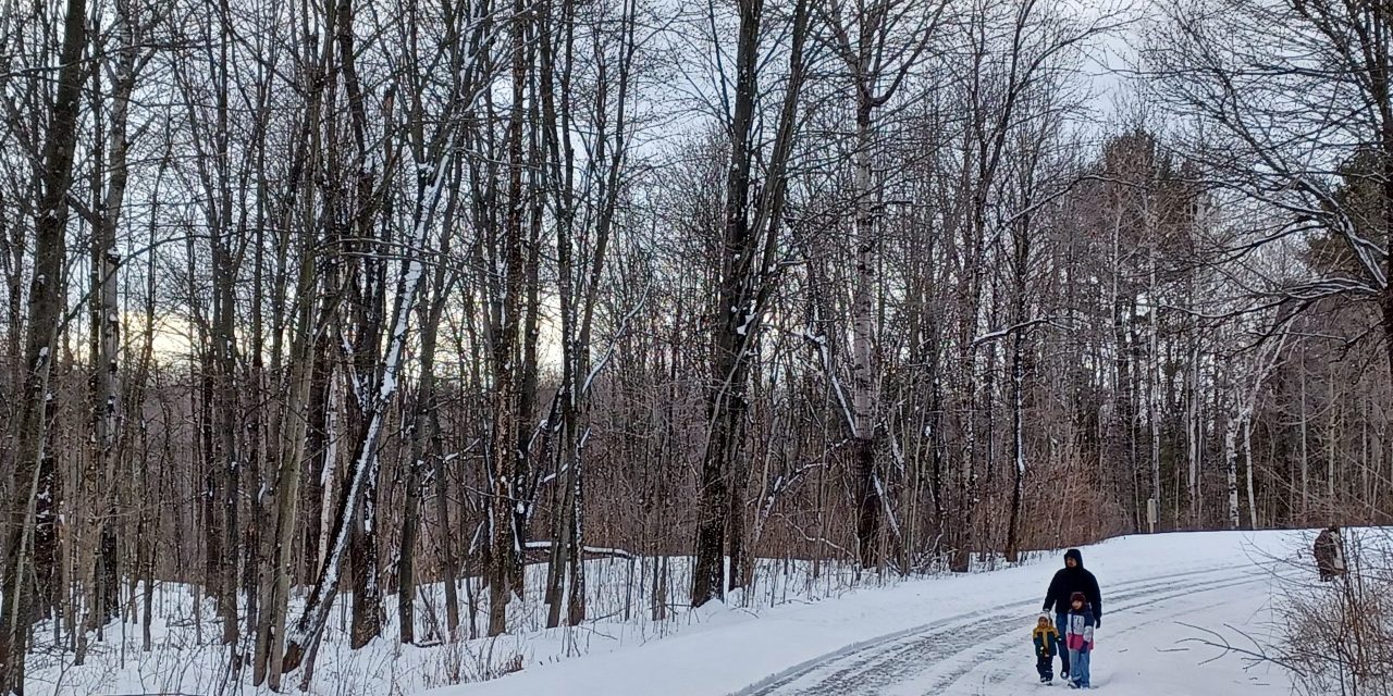
We are well into winter now across the region and there are ways to enjoy time in the snowy forests on foot, cross-country skis, or snowshoes.
Ski Vent-Clic maintains a 16-kilometre groomed cross-country ski trail loop around Vankleek Hill with connector trails to the urban area of town. A pass, or day use fees are required. For rates, payment, and trail conditions, go to https://skivankleekhill.ca.
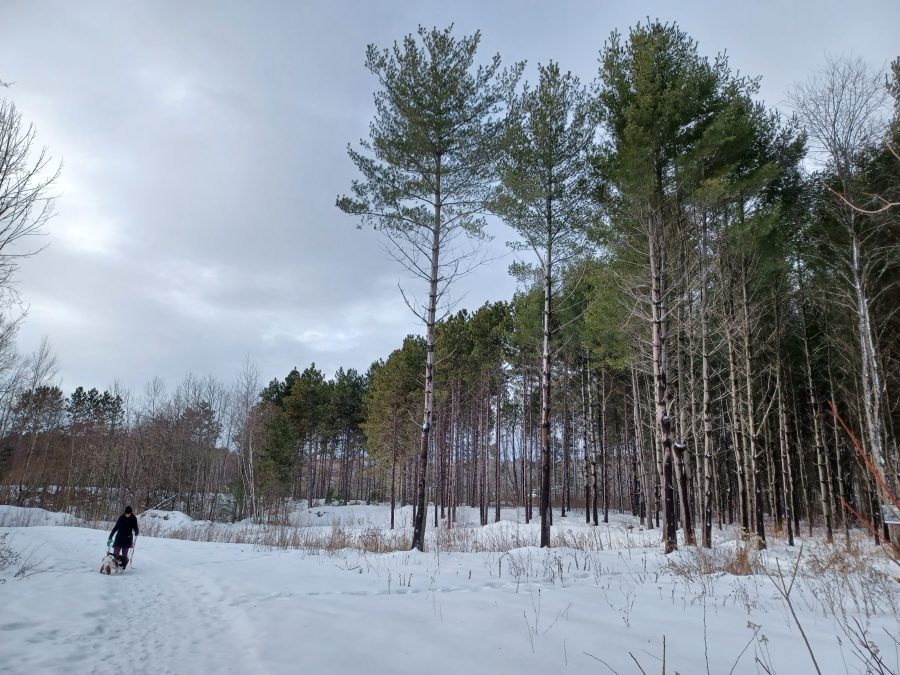
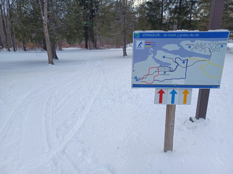
Groomed cross country ski trails and a plowed road for walking are offered at Voyageur Provincial Park near Chute-à-Blondeau. There are three ski trails of three, six, and 11 kilometres in length. The shortest loop is three kilometres. Access is from the park entrance on Front Road (County Road 4) near the Highway 417 interchange. Provincial park day use fees or seasonal/annual vehicle passes are required. The Champlain Public Library also loans Ontario Parks day use passes to library cardholders.
Boisé Larocque in Alfred is a forest located beside Larocque Park. During the winter, three kilometres of trails are maintained for cross-country skiing, snowshoeing, or fatbike riding in the snow. Trail use is free and parking is located at the end of Larocque Street in Alfred. For more information, including a trail map, go to https://www.alfred-plantagenet.com/en/community-recreation/parks-outdoor-spaces/larocque-woods.
The Larose Forest, owned and managed by the United Counties of Prescott and Russell, is home to 29 kilometres of groomed cross-country ski trails. The forest also offers 37 kilometres of trails for snowshoeing. The main access points for the Larose Forest are located south of Bourget on County Road 8 and from Ferdinand Lane near Limoges. For directions to access points and trail maps, see https://en.prescott-russell.on.ca/discover/larose_forest.
The Friends of Glengarry Trails Association maintains a network of 15 kilometres of free trails suitable for walking or snowshoeing west of Alexandria. Some trails connect to the town while others are accessible from parking areas located along nearby rural roads. For trail maps and parking information, go to https://glengarrytrails.com.
Photos: James Morgan