
South Nation Conservation (SNC) and The Nation Municipality continue to closely monitor for landslides along the South Nation River. Efforts also continue to purchase remaining residential properties in high-risk areas.
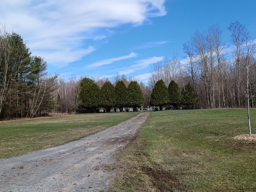
A significant risk of retrogressive landslides exists along the South Nation River in The Nation, particularly in the area between the former Lemieux townsite and Casselman.
SNC Chief Administrative Officer (CAO) Carl Bickerdike and SNC Managing Director, Property, Conservation Lands, and Community Outreach John Mesman told The Nation council on February 12 that they are identifying and managing vulnerable sectors. They also met with Ontario Minister of Natural Resources Minister Graydon Smith at the Rural Ontario Municipal Association (ROMA) conference in January and discussed the issue.
“The Minister was interested in learning more about potential retrogressive landslide areas, specifically the area between Casselman and Lemieux,” Mesman said.
“He was supportive of our efforts to advance our mitigation plan that we have,” he added.
The landslide risk is due to Leda clay in the soil. It was formed 10,000 to 13,000 years ago in the bed of the post-glacial Champlain Sea, which once covered Eastern Ontario. Once water infiltrates the clay, it becomes unstable and liquifies. Due to the unstable or liquified clay, landslides can be triggered by soil saturation, a sudden drawdown of water, excessive slope loading, stream erosion, excavation and construction, earthquakes, or human-induced vibration. Soil saturation is the greatest concern because it occurs every spring.
More than 50 landslides due to sensitive clay have been documented in Ontario and Québec. More than 250 people have died in Québec, no deaths in Ontario. More than 40,000 hectares of land were destroyed as a result of these landslides. The Casselman to Lemieux area remains the largest potential retrogressive landslide risk area in Ontario.
Five large landslides have been documented in the area since 1850. Development restrictions and mitigation measures were explored during geotechnical investigations between 1982 and 1999.
On June 16, 1971, a significant landslide occurred in Lemieux. Following that incident, SNC established the Lemieux Potential Retrogressive Landslide Area. No development is permitted within 30 metres/33 yards of where the 1971 landslide occurred. In 1981, a majority of Lemieux residents voted to have their properties be purchased by SNC at 95 per cent of market value.
On May 4, 1971, the village of St-Jean-Vianney in the Lac St-Jean region of Québec was also partly destroyed by a landslide as a result of Leda clay in the soil there. The disaster buried 31 people alive and destroyed many homes. The Québec government relocated the remaining residents and the village no longer exists due to the continued risk of dangerous landslides.
“It’s been a bit of time since we had the last large landslide,” Mesman remarked.
The Seguinbourg Berm was constructed between 1987 and 1990 to protect 50 properties north of Casselman. In 1990-1991, 28 more residences and structures were relocated out of Lemieux. Today, the village exists in name only.
On June 20, 1993, the largest landslide in Ontario history occurred, just 500 metres from the former main street in Lemieux. No lives were lost because the residents had all been relocated, but a driver of a vehicle traveling along County Road 16 was seriously injured.
“The next large-scale retrogressive landslide could happen at any time in this area,” Mesman said.
A smaller landslide involving ravine bank slumping occurred downstream of Wolf Creek in the fall of 2018 due to a building which had been constructed without a permit in 2017.
“It’s important to remind residents this sort of thing can happen at any time,” Mesman remarked.
A mitigation plan for retrogressive landslides along the South Nation River was developed in 2020 with assistance from the federal Canada’s National Disaster Mitigation Program.
However, there are still some people living in restricted landslide risk areas along the South Nation River. The mitigation plan recommends purchasing the remaining 27 primary residential homes in the hazard area from willing sellers.
SNC and The Nation Municipality write to each resident yearly to remind them of the risks. They encourage property owners to report concerns, and to contact SNC if they are interested in selling.
Bickerdike said that during his meeting with Smith in January, he requested $250,000 per year for 12 years to assist SNC with the cost of purchasing homes from willing sellers.
The SNC board has created a reserve fund and offers affected property visits and free appraisals. Since 2017, one to two purchases per year are considered by the SNC board.
SNC is still awaiting a response from the Ministry of Natural Resources and Forestry about the funding request. If the funding is approved, SNC will return to The Nation council to discuss the parameters of a property purchase plan.